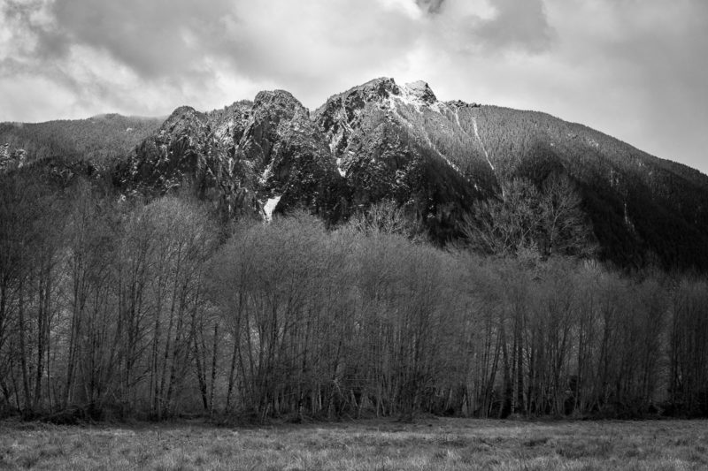
Living in Washington state provides excellent subject material for landscape and nature photography. Not only do we have our scenic icons (Mt Rainier, Olympic Mountains, etc.), we have plenty of beautiful landscapes rarely photographed.
As I mature in my photographic journey, more and more, I desire to photograph natural landscapes of the Pacific Northwest rarely visited, not on the must-visit locations popularized on social media, beautiful in their unique way. My goal is to set myself apart from the crowd of landscape photographers, to visit out of the way areas, shoot and naturally process my photos (if you saw the same place under the same weather/lighting conditions, you could experience what I photographed, whether in color or black and white).
An hour from my house is Wahkiakum County. Wahkiakum is the second smallest county (based on population) in Washington. The Columbia River borders the rural county to the South, Pacific and Cowlitz counties to the West and East, and Lewis County to the North. There are several small communities, but only one incorporated town, Cathlamet.
I often pass through the area on State Route 4 on my way to Longview, but I can only visualize potential images as I pass by scenes because of timeframes.
On a day my schedule opened up, and I rested from my job as a Firefighter, I headed off to explore the countryside on a foggy spring morning without a specific destination in mind.
The first side road off SR4 that caught my attention as the dawn broke through the fog was Altoona-Pillar Rock Road.
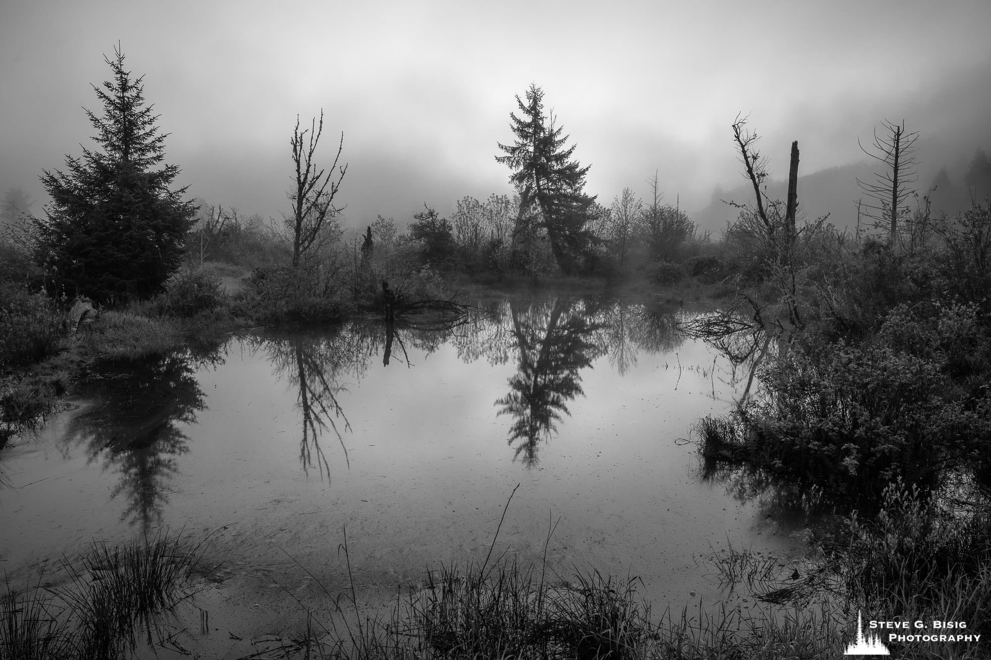
A short distance past the bridge over the Grays River, I turned onto Mill Road. Mill Road is a road built upon a levy for the river. Early settlers built levees to keep the river at bay and repurpose estuaries as farmland.
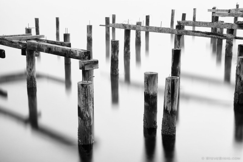
My first stop of the morning was to photograph the high-tide water in the estuary along Mill Road. Bordered by trees in the mid-ground and grass in the foreground, the filtered sunlight through the low-hanging mist allowed for nice reflections on the smooth surface of the water.
Satisfied with my composition, I turned around to continue my explorations. I’ll have to come back another day to explore further on Mill Road.
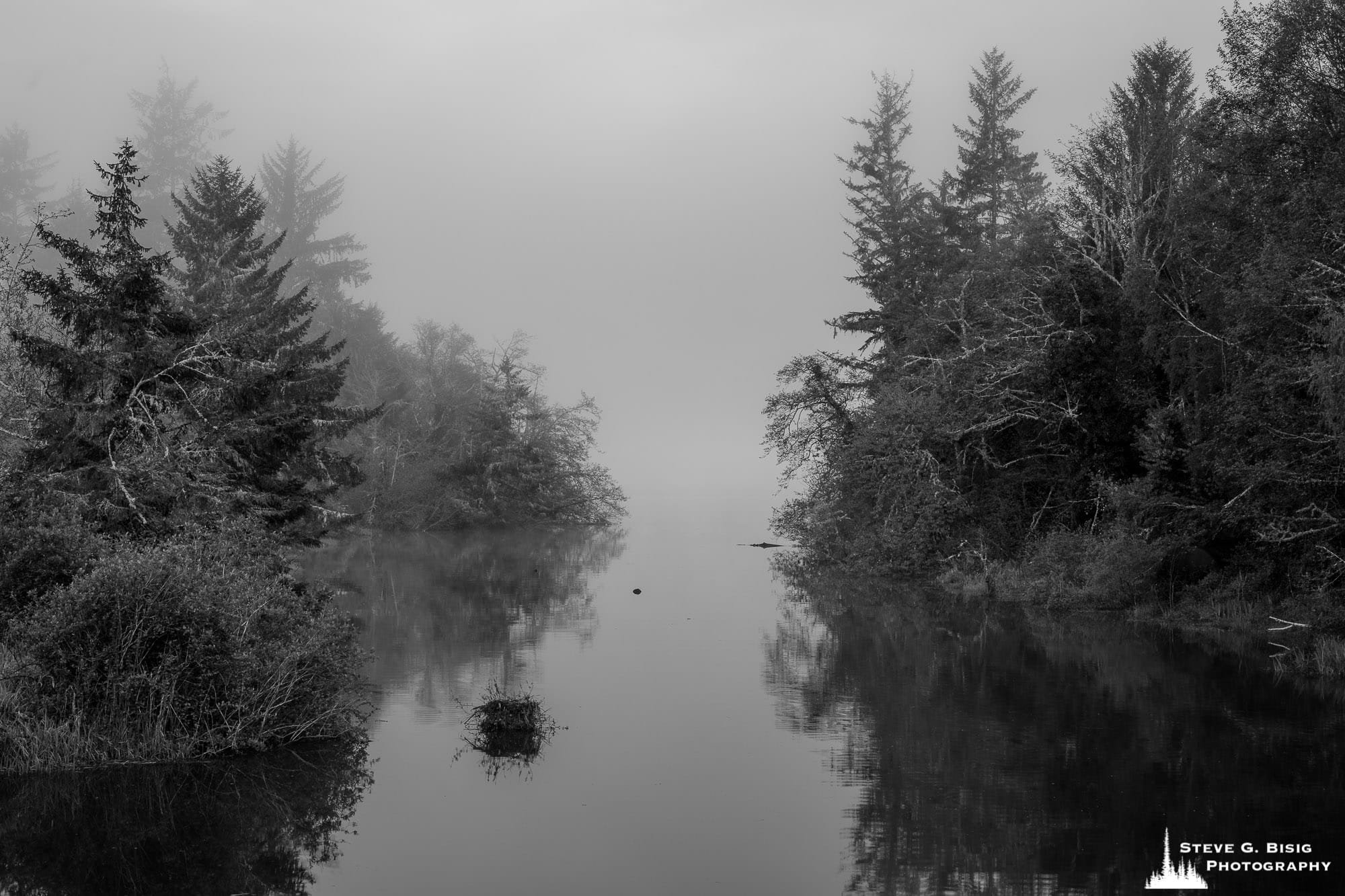
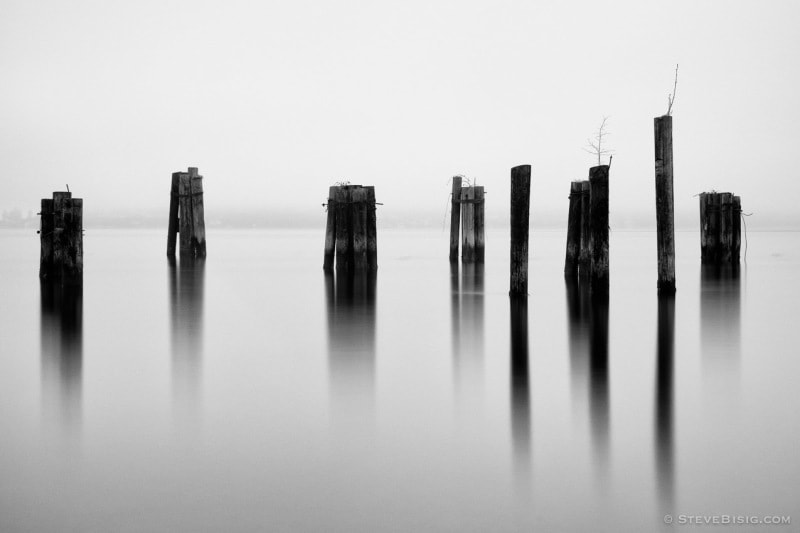
My next stop of the morning was a bridge that crossed over Crooked Creek, upstream from its mouth into the Columbia River. The tides of the Pacific Ocean influence the lower reaches of the Columbia, where high tides fill the tributaries and estuaries with water, creating more pleasurable photographs.
What captured my attention in this scene was the sky and distant landscape filtered out by the dense fog. Also, the trees bordering the river’s bank against the light reflecting off the creek direct the eye off into the misty unknown beyond the viewer (not seen through the fog is Brix Bay and the Columbia River).
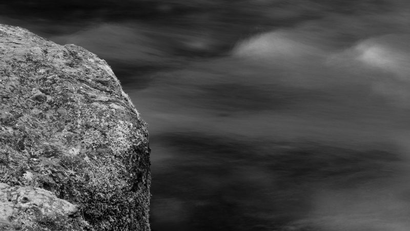
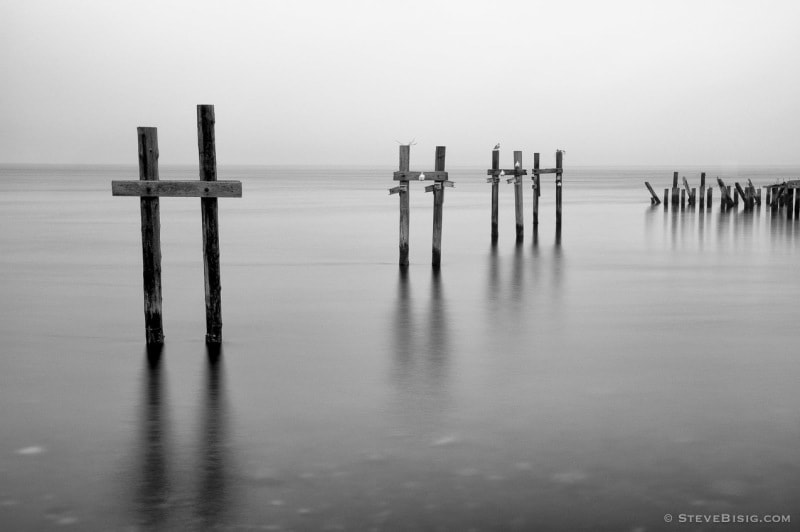
On this series of photographs, at the time I was shooting, I visualized these images in black and white. The choice of black and white emphasized the moody, atmospheric conditions I found on this cool spring morning.
Artistically, I always first look for landscape compositions that will convey my vision in the monochromatic tones of black, gray, and white before composing in color.
To be continued.
Thank you for reading and your continued support.
Have a great day!
~Steve
Linked Images:
Also posted at https://www.stevebisigphotography.com/articles/blog_posts/photographic-explorations-of-altoona-pillar-rock-road-part-1